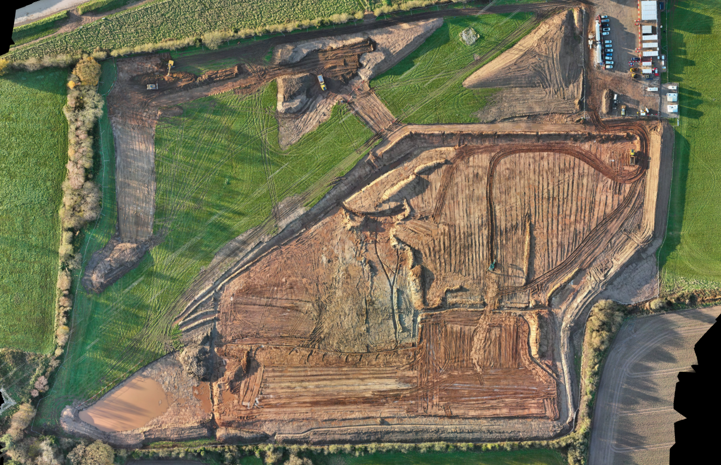
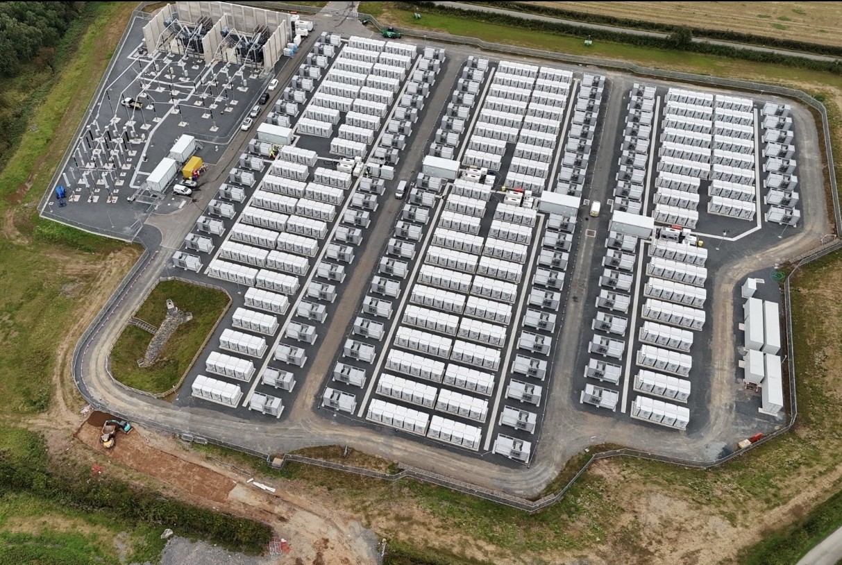
Construction Monitoring & As-Built Maps

High-quality RTK-enabled drone surveys to monitor construction progress, verify built works and produce auditable as-built records for civil engineering projects. We capture date-stamped site imagery and surface models and tie outputs to your project grid using site control and QA checkpoints, enabling clear comparisons against design and reliable reporting.
Deliverables: date-stamped orthomosaics, 2D CAD as-built plans (where required), 3D terrain/surface models, contour maps and photo reports aligned to your site grid and project coordinate system.
✔ Regular progress surveys for highways, energy projects and earthworks
✔ Checking levels, alignments and extents against design using overlaid data
✔ Measuring progress quantities for interim valuations and payment applications
✔ Recording exposed services and structures before backfilling (drainage, ducts, crossings)
✔ As-built surface models and plans to support handover, O&M manuals and asset records
✔ RTK-referenced ground and surface levels tied to your site grid using site control and QA checkpoints
✔ Built features – carriageway layers, kerbs, footways, platforms, attenuation ponds, chambers
✔ Linear features – drainage runs, ducts, cable routes, fence lines, barriers, batter toes and crests
✔ Control points and permanent benchmarks used to reference each survey campaign

✔ Main contractors and client teams who need clear evidence of progress and as-built records
✔ Commercial managers and quantity surveyors preparing valuations and payment applications
✔ Site engineers and project managers who need accurate progress mapping for QA and reporting
✔ Designers and consultants who need as-built models and redline information to update design
✔ Developers and asset owners who require reliable documentation of what has been built