Progress Photos & Video

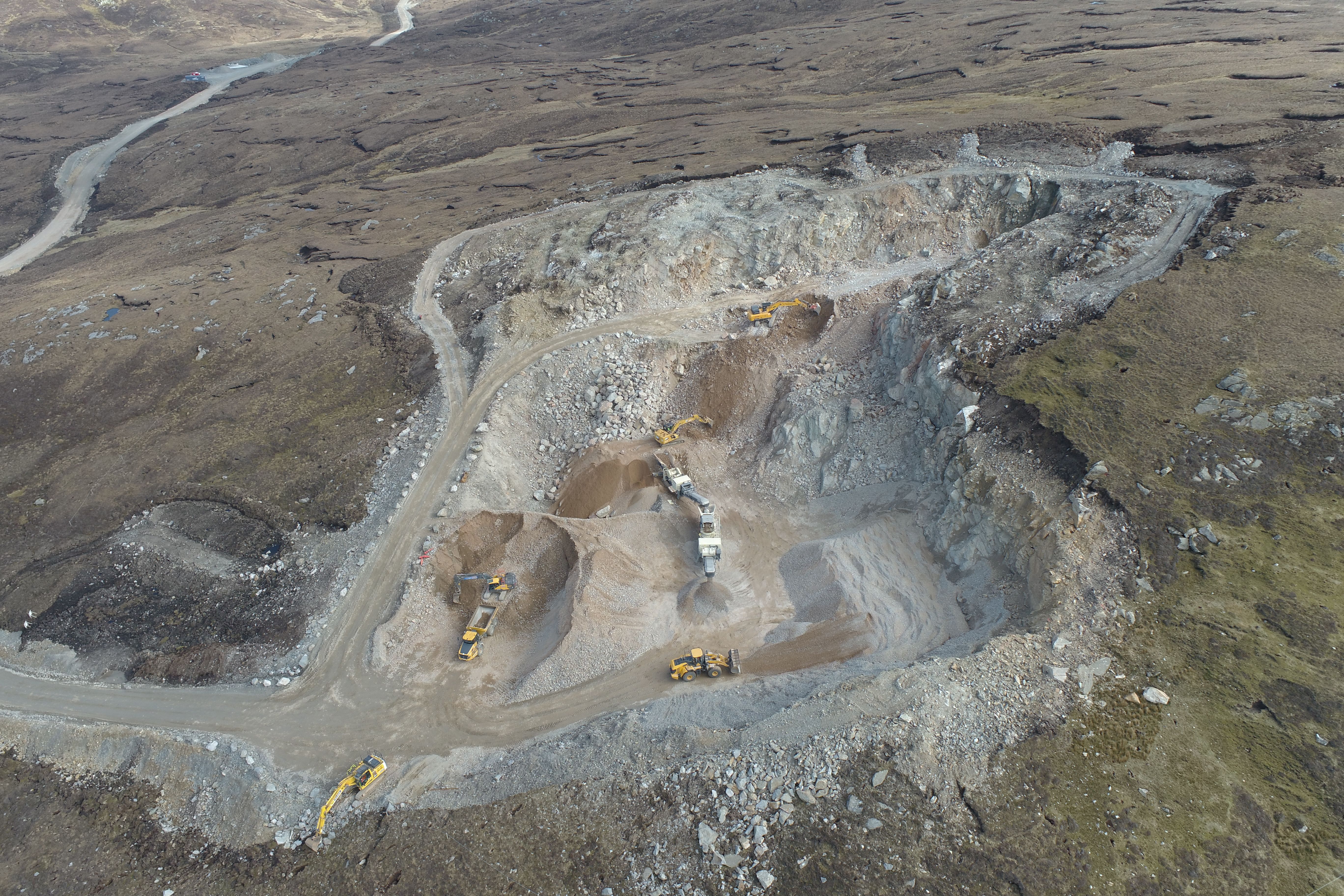
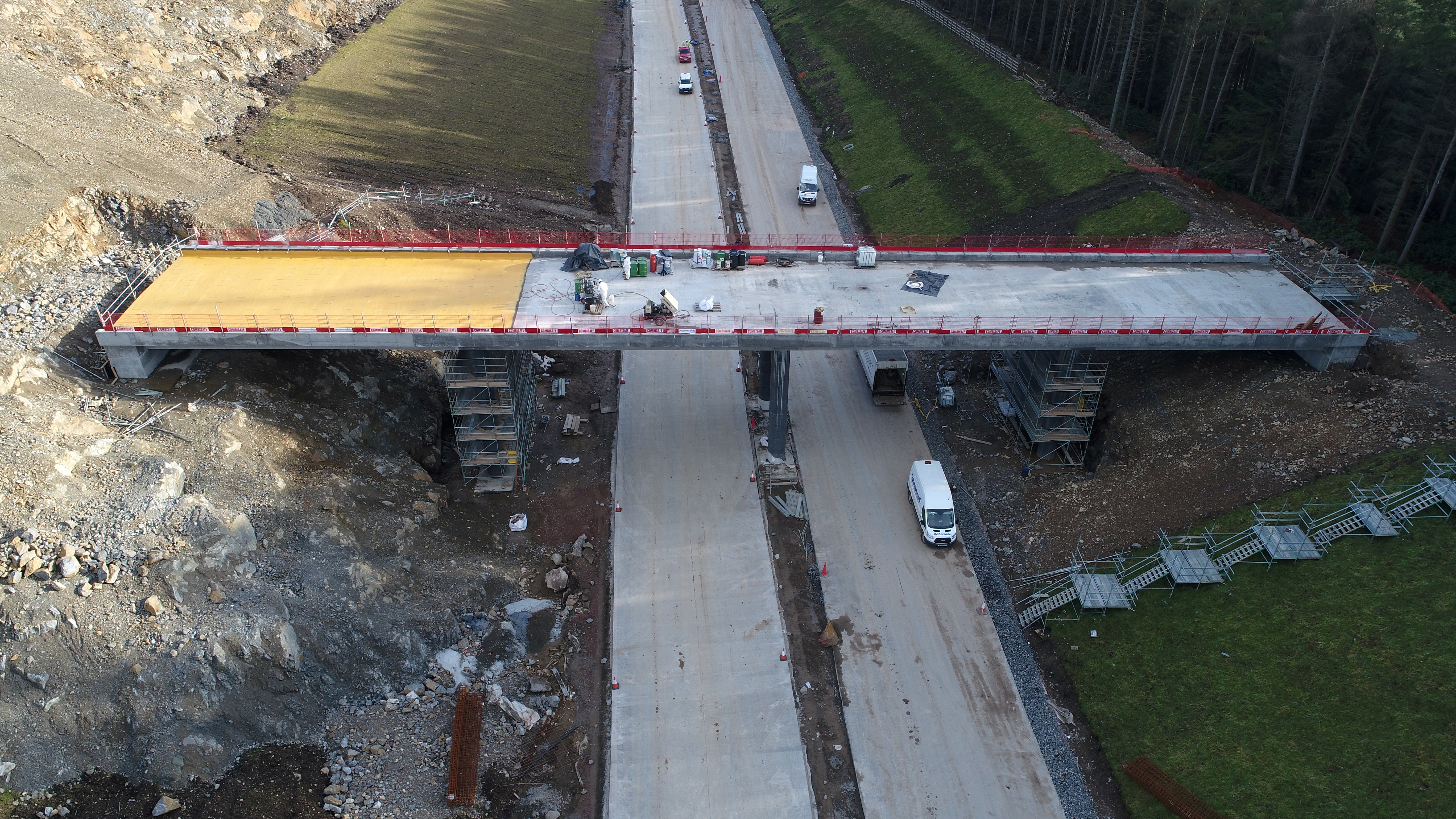
High-resolution drone photography and video provide a clear, repeatable record of site progress from day one to handover. We fly pre-planned routes to capture consistent viewpoints, making it easy to compare stages side-by-side, brief stakeholders and evidence works completed on site.
Deliverables: edited photo sets, 4K video clips, timelapse sequences and web-ready media branded with your logo, ready for reports, presentations and online updates.
✔ Weekly or monthly progress records for highways, energy and infrastructure projects
✔ Before-and-after evidence for earthworks, structures and external works
✔ Visual updates to support valuations, payment applications and change events
✔ Content for client updates, stakeholder briefings and public consultation materials
✔ Remote site visibility for teams who can’t attend regularly (clear, repeatable viewpoints)

✔ Overhead and angled photos from agreed, repeatable viewpoints
✔ 4K video flyovers, walkthroughs and fly-arounds following planned flight paths
✔ Close-up detail shots of key assets (structures, drainage, fencing, finishes and M&E plant)
✔ Wider site context: access routes, compounds, laydown areas, interfaces and constraints
✔ Date-stamped media sets organised for fast use in reports and updates
✔ Main contractors and civil engineering teams who need visual proof of progress for reports, valuations and handover
✔ Clients, project managers and funders who can’t visit site regularly and need reliable updates
✔ Developers and asset owners who require a clear record of how the project was built
✔ Communications and stakeholder teams who need consistent visuals for briefings and public updates
✔ Commercial teams who need supporting media for variations, claims and change control(visual evidence)