Engineering Drone Projects

Survey-grade aerial data supporting engineering, construction and infrastructure projects.

Repeatable drone flight paths enabling accurate visual comparison throughout project delivery.
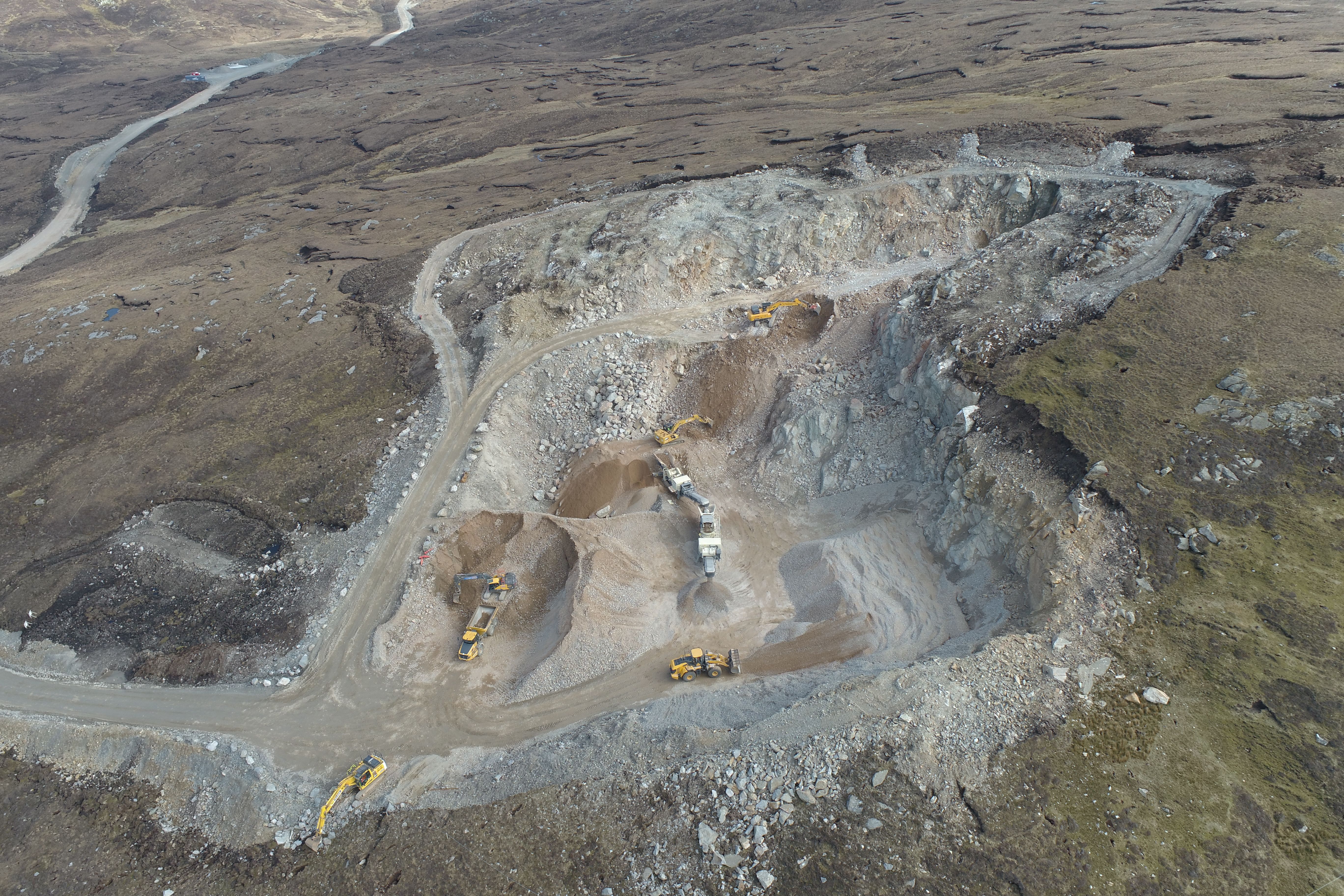
Stockpile control, terrain analysis and production monitoring using survey-grade drone data.

Overlay design data onto real-world conditions to detect issues before they become costly.